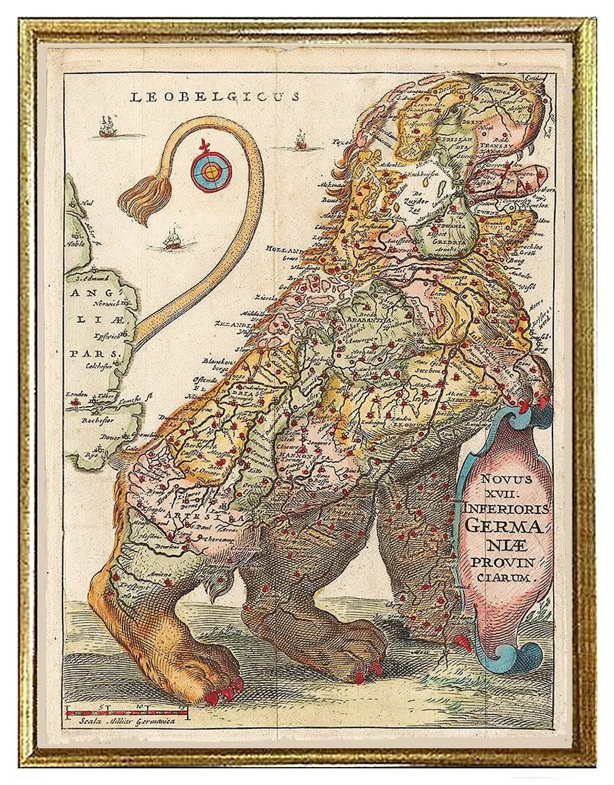
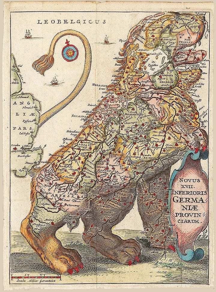
Old World Map Leo Belgicus Map by Famiano Strada, 1648
Old World Map Leo Belgicus Map by Famiano Strada, 1648
Old World Map Leo Belgicus Map by Famiano Strada, 1648 . . . an antique map gives us a peek into the past. Stunning giclee reproduction expertly printed on fine heavy paper with deep color saturation and sharp details. Available in many sizes, unframed or framed, custom sizes available. Made in USA by Museum Outlets with keen attention to detail and quality.
Print / Framed (sizes approx)
12x16 / 14x18 xsm
18x24 / 20x26 sm
23x30 / 26x33 med
35x46 / 38x49 lg
43x56 xlg
card 5 1/2 x 7 3/8”
MAWO-72
Details
Glazing Glass (xsm, sm and med) Acrylic (large)
Frame vintage gold or silver leaf wood or, open grain black or black matte wood frame
Note: In the 16th and 17th centuries, maps of the Low Countries frequently were drawn in the form of a lion, known by its Latin designation, Leo Belgicus. The "Belgian" lion usually included all of the 17 provinces variously referred to as the Netherlands or the Low Countries, even though the seven provinces of the north broke away in 1581 to form the Dutch Republic. Symbols of Dutch patriotism, these maps often appeared in 17th-century Dutch paintings, hanging on the walls of inns or private homes, as in Jan Vermeer's The Painter and His Studio.


